3D Modelling, Accuracy & the Elios 2

3D modelling is revolutionising the landscape of visual and NDT testing. But one thing that’s vital to understand is how to ensure the quality and accuracy of the results. The following looks specifically at the visual data provided with Flyability’s Elios 2. However, the underlying theory of image collection can be applied to any 3D modelling.
All About 3D Modelling
The crucial takeaway is that any 3D model is only as good as the data used to build it. This means that every element of the data collection must be of the highest possible standard to return the desired accuracy. When it comes to creating a 3D model from image data (such as is achieved with the Elios 2) the following is true:
The theoretical maximum accuracy of a 3D model created using visual data is three times the Ground Sampling Distance.
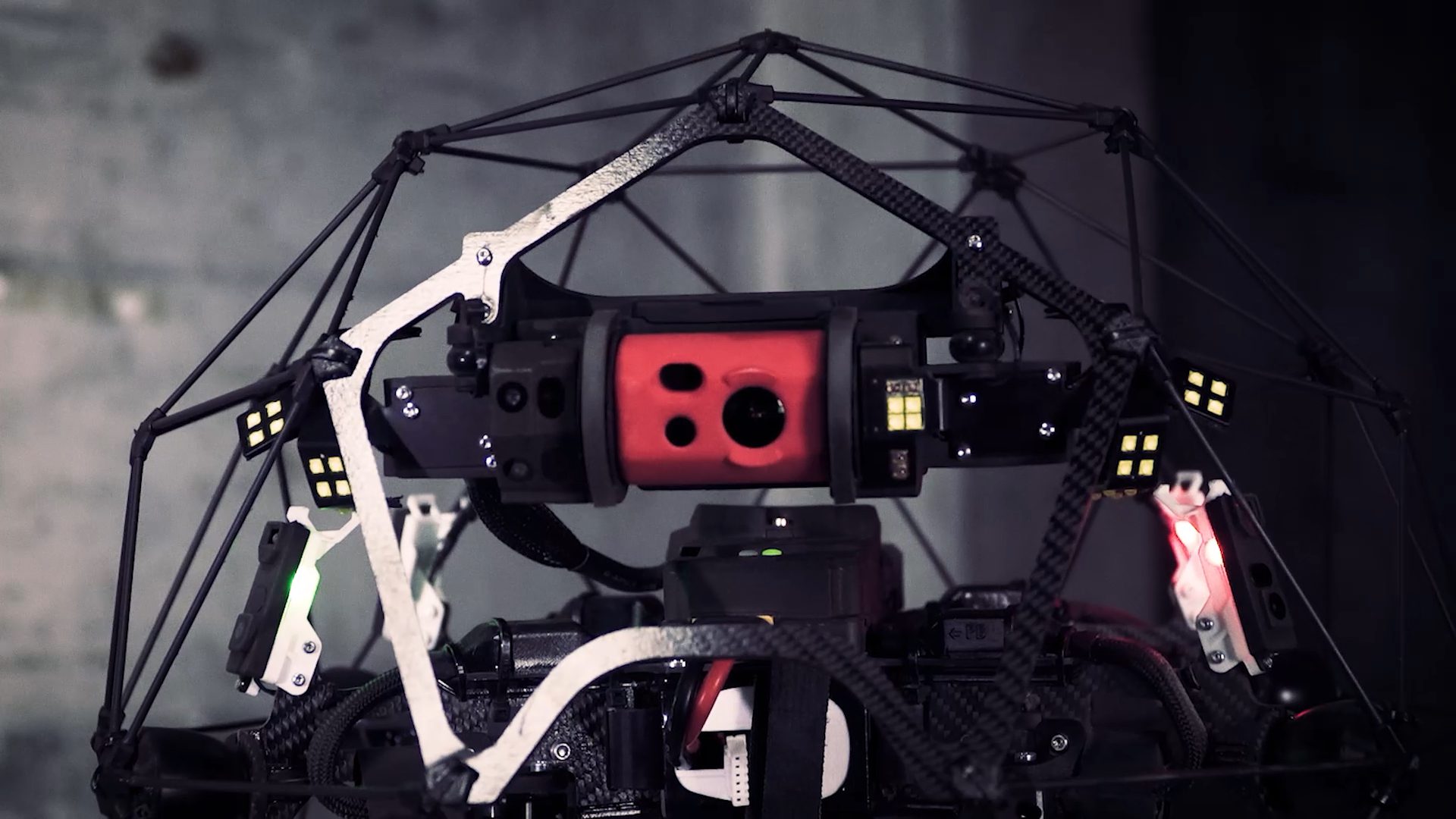
What this refers to is the size of the pixels as they appear on the surface of the model. Because the Elios 2 has a 4k camera, maximum accuracy is achieved (with a pixel size of roughly 1mm).
A variety of elements must be taken into account when collecting the visual data, such as imaging conditions, camera specifications, the size of area to be mapped, the use of multiple reference and orientation points.
The most important aspect of any visual data collection for a 3D model is the planning. Depending on the inspection, the above-mentioned 1mm accuracy may or may not be desirable, and this should be considered when planning the method for which the visual data is captured.
Planning Considerations
This vital step is where accuracy is created. The following are some of the key considerations:
- Ensuring ideal imaging conditions: Good lighting is imperative. Environments such as dust or darkness will impede visual data collection, as will reflective surfaces or those with little texture
- Utilise constraints: These are reference points (called scale constraints in Pix4D) that should be regularly measured along the flight path. A combination of scale constraints and orientation constraints are needed. The larger the inspection area, the larger the reference dimensions
- Accurate calibration: To facilitate smooth drone operation and the quality of images collected
- Distance from the object: In general, the closer you can get to the object the better
In regards to the latter point, it’s important to understand a little about ground sampling distance (GSD) resolution. This is simply the centre distance between two adjacent pixels that are measured on an object. GSD is measured in mm/px. A rating of 1mm/px means that a single pixel on an image represents 1mm in reality. It’s determined by the distance between the camera and the area or object of which it’s taking an image – so the closer a camera is to its target, the better the GSD and the smaller the value.
A smaller GSD represents better visualisation of smaller images. In the case of inspection data, a lower GSD provides more intricate 3D modelling. Thanks to the unique cage design of the Elios 2, it’s possible to fly extremely close to the objects and areas to be inspected, therefore obtaining the highest quality of data. This then translates into extremely accurate 3D modelling. It’s also possible to use a fisheye lens to create images where the centre of an object has a lower GSD than those in the corners or the exterior of the image.
Quality 3D modelling is all about preparation. Spending time to ensure the above points are right for your inspection is the key to capturing a highly accurate 3D model.
The Elios 2 from Flyability is just one of the innovative NDT inspection tools offered by equipment procurement specialist, Nexxis. Based in Perth, their unique solutions-based model works with customers to determine access to the right equipment at the right time, no matter how diverse your needs.
Find out more about the Elios 2 or contact us today for a no-obligation chat.
